Hydrogeology of the surroundings of El Oso lakes (Ávila)
DOI:
https://doi.org/10.55407/geogaceta98432Keywords:
pond, Moraña, El Hoyo lake, aquifer, Duero basinAbstract
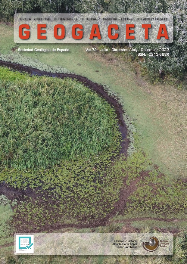
In the surroundings of the locality of El Oso in the region of the Moraña (Ávila), there are many wetlands. The most important is El Hoyo lake. The Miocene and Quaternary sands constitute good aquifers with northward groundwater flow. In the vicinity of El Oso the groundwater table is very shallow and groundwater shows an ascendant vertical component. Groundwaters are fresh and have a bicarbonate-calcium-sodic composition. The natural regime of El Hoyo lake has been modified by the groundwater inputs from nearby boreholes. El Hoyo is a recharge lake during the winter, fed mainly by direct precipitation, but during the summer it can receive groundwater inputs.
References
Armenteros, I., Huerta, P., Cidón-Trigo, A., Rueda-Gualdrón, M.C., Recio, C. y Martínez-Grana, A. (2019). Geogaceta, 66, 51-54.
Huerta, P., Armenteros, I., Recio, C., Carrasco-García, P., Rueda-Gualdrón, C. y Cidón-Trigo, A. (2021). Science of The Total Environment, 789, 147909. https://doi.org/10.1016/j.scitotenv.2021.147909
Mediavilla, R., Santisteban, J.I., López-Cilla, I., Galán de Frutos, L. y de la Hera- Portillo, Á. (2020). Water, 12, 1911. https://doi.org/10.3390/w12071911
MIRAME (2022). Confederación Hidrográfica del Duero, http://www.mirame. chduero.es/DMADuero_09_15/index. faces, 20-02-2022.
Pérez-González, A. y Elízaga-Muñoz, E. (1979a): Mapa Geológico de España 1:50.000, hoja nº 481 (Nava de Arévalo). IGME, Madrid 52 p.
Pérez-González, A. y Elízaga-Muñoz, E. (1979b): Mapa Geológico de España 1:50.000, hoja nº 506 (Cardeñosa) y memoria. IGME, Madrid 68 p.
Pineda, A., Huerta, P., Nozal, F., Montes, M. y López-Olmedo, F. (en línea): Mapa Geológico Digital continuo E. 1: 50.000, Zona Cuenca del Duero-Almazán (Zona-2300) IGME, en línea.
Rodríguez-Rodríguez, M., Moral, F., Benavente, J. y Beltrán, M. (2010). Journal of Arid Environments, 74, 1478-1486. https://doi.org/10.1016/j.jaridenv.2010.03.018
Sanz-Montero, M.E., Cabestrero, Ó. y Sánchez-Román, M. (2019). Frontiers in Microbiology, 10. https://doi.org/10.3389/fmicb.2019.00148
Sanz Donaire, J.J. y García Rodríguez, M.P. (1998). Observatorio Medioambiental, 1, 65-92.
Downloads
Published
How to Cite
Issue
Section
License
Until the year 2023 the author assigned the copyright to the Sociedad Geológica de España, but from 2024 the author retains the copyright and grants the Sociedad Geológica de España the right of first publication and non-exclusive distribution of each article in all current or future media, while transferring, also non-exclusively, the commercial rights for the distribution of the printed version of Geogaceta. On the other hand, the articles, from the year 2023, are available simultaneously with their publication, under the Creative Commons CC BY-NC-SA 4.0 license, which allows copying, transforming the work, but if any transformation is distributed, the new work must be distributed under the same license, and never for commercial purposes, while acknowledging the authorship and original publication in GEOGACETA, so that the only role of copyright is to give authors control over the integrity of their works and the right to be properly acknowledged and cited.


