Satellite-Bassed Teleproving
Abstract
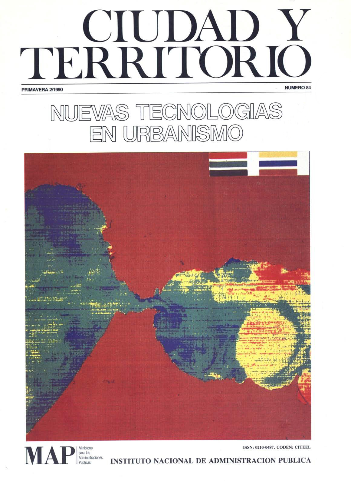
The complex mechanics of teleproving by satellite and its usefulness in city and area planning studies form the heart of this paper. After a short historical survey, it moves on to an initial analysis of how such images are achieved. The major features of an observation system are then laid out and then this sort of system is defined as such. The paper is wound up with a digest of examples of the applications of this last to area planning then finished off with a sketching in of its possible future uses as within the professional and proceedural context of town and country planning. The whole line of arguement is based on the european SPOT satellite experience.
Downloads
Downloads
Published
How to Cite
Issue
Section
License
Copyright (c) 1990 Benoit Boissin

This work is licensed under a Creative Commons Attribution-NonCommercial-NoDerivatives 4.0 International License.
Considering the provisions of the current legislation on Intellectual Property, and in accordance with them, all authors publishing in CyTET give -in a non-exclusive way and without time limit- to the Ministry of Transport, Mobility and Urban Agenda the rights to disseminate, reproduce, communicate and distribute in any current or future format, on paper or electronic, the original or derived version of their work under a Creative Commons Attribution-NonCommercial-NoDerivative 4.0 license International (CC BY-NC-ND 4.0), as well as to include or assign to third parties the inclusion of its content in national and international indexes, repositories and databases, with reference and recognition in any case of its authorship.
In addition, when sending the work, the author(s) declares that it is an original work in which the sources that have been used are recognized, committing to respect the scientific evidence, to no longer modify the original data and to verify or refute its hypothesis. Author(s) also declare that the essential content of the work has not been previously published nor will it be published in any other publication while it is under evaluation by CyTET; and that it has not been simultaneously sent to another journal.
Authors must sign a Transfer of Rights Form, which will be sent to them from the CyTET Secretariat once the article is accepted for publication.
With the aim of promoting the dissemination of knowledge, CyTET joins the Open Journal Access (OA) movement and delivers all of its content to various national and international indexes, repositories and databases under this protocol; therefore, the submission of a work to be published in the journal presupposes the explicit acceptance by the author of this distribution method.
Authors are encouraged to reproduce and host their work published in CyTET in institutional repositories, web pages, etc. with the intention of contributing to the improvement of the transfer of knowledge and the citation of said works.


 Enlace a CyTET en Linkedin