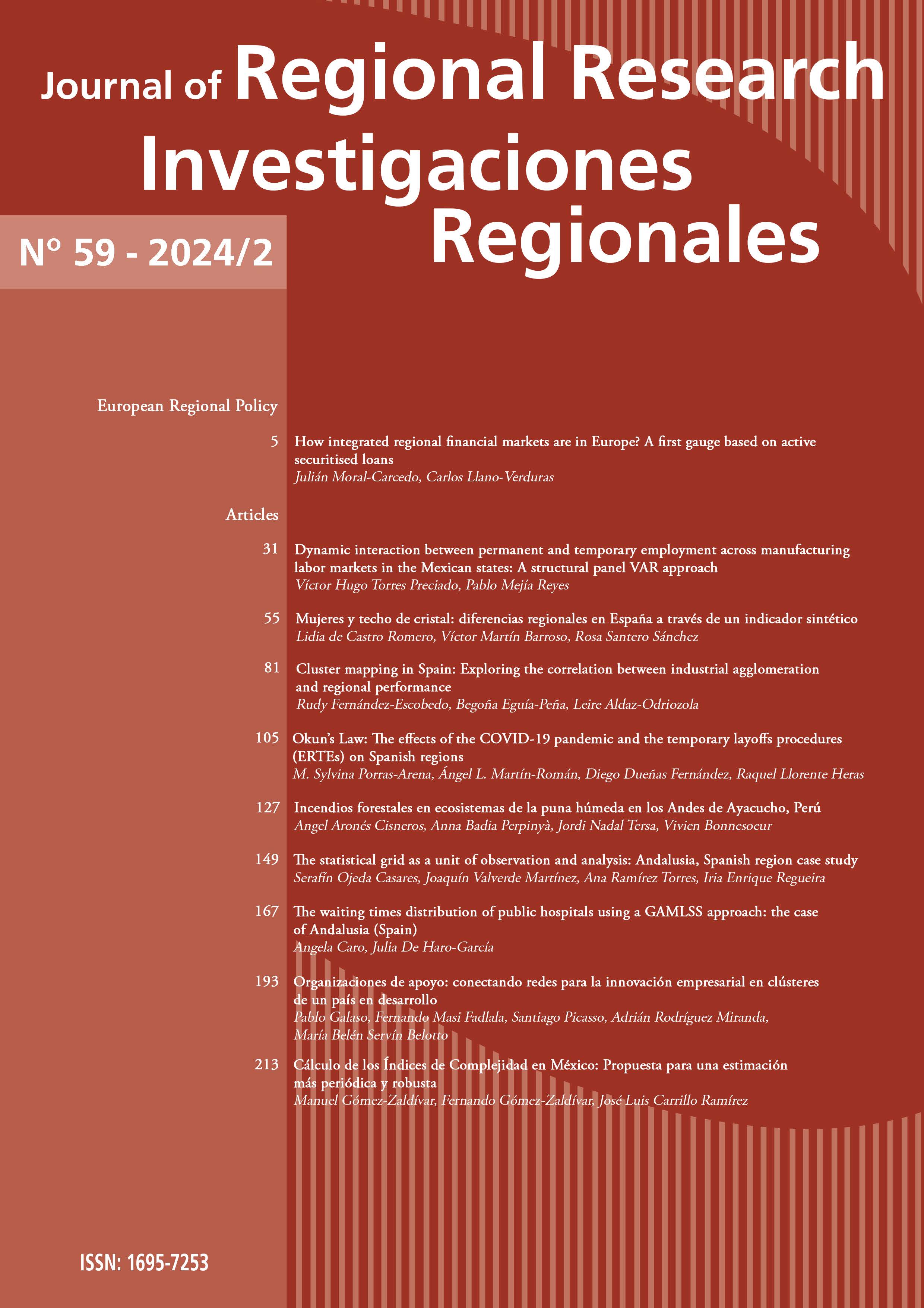
The statistical grid as a unit of observation and analysis: Andalusia, Spanish region case study
DOI:
https://doi.org/10.38191/iirr-jorr.24.015Keywords:
Grid, population, cadastre, building, dwellingAbstract
Units of observation with reduced dimensions and regular geometry have been increasingly generated in a recent, albeit already steady, trend towards further territorial data disaggregation. In this line of research, the present study reports the results of using the spatial distribution of population data and built-up areas at a high level of territorial data disaggregation with reduced dimensions and with a homogeneous observation unit by applying a regular grid consisting of 250-m square cells. e main objective was to show the results and advantages of working at a high level of spatial data disaggregation. This approach provides a more comprehensive knowledge of the territory and allows for a more accurate analysis of spatial patterns in the different variables under study, thereby enhancing the quality of decision-making processes.
Downloads
Published
Issue
Section
License
Copyright (c) 2024 Serafín Ojeda Casares

This work is licensed under a Creative Commons Attribution-NonCommercial 4.0 International License.
Aquellos autores/as que tengan publicaciones con esta revista, aceptan los términos siguientes:
En el momento de aceptar la publicación de sus artículos en Investigaciones Regionales / Journal of Regional Research, los autores acceden a utilizar la licencia Creative Commons CC BY-NC. IIRR/JRR es una revista abierta que permite a los autores retener el máximo control sobre su trabajo. Los autores aceptarán utilizar la licencia Creative Commons Attribution-NonCommercial. Esta licencia permite a cualquier persona copiar y distribuir el artículo con propósitos no comerciales, siempre y cuando se atribuya adecuadamente la atribución del trabajo a la revista y a los autores.


